

Your Custom Text Here
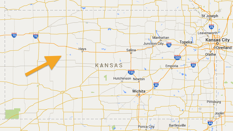
Getting across the American prairie is tough, straight roads and long hours.This is one of those hidden gems, right off the beaten path, that can make that drive across the otherwise flat and mundane Kansas that much more exciting.
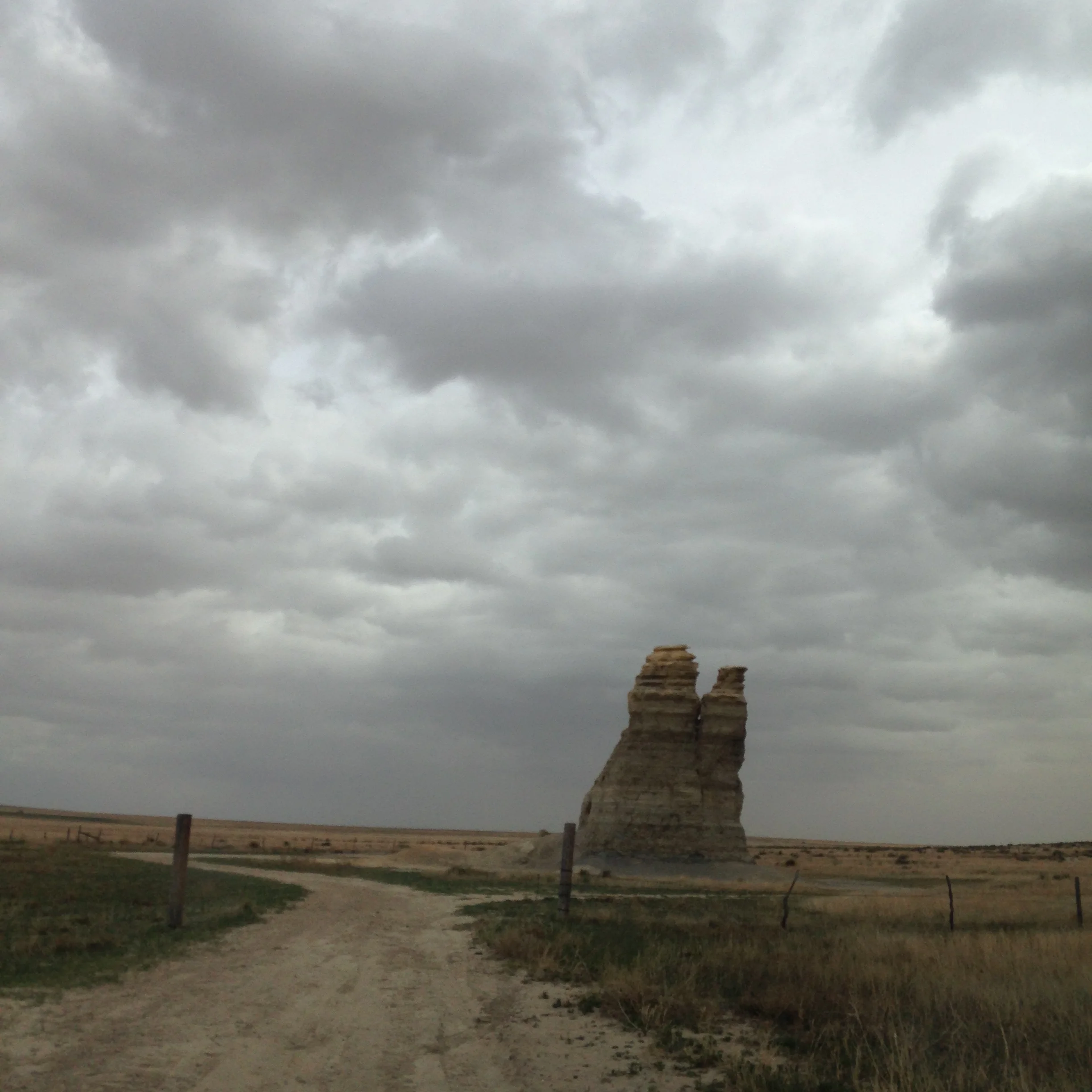
Castle Rock rises above farm land along a series of dirt roads, south of the I-70 corridor. It was formed by chalk deposits of an ancient inland sea. It has been eroding away for eons, but has seen increased visitation and climbing has caused so much erosion that back in 2001 the tallest of the spires broke away and crumbled.
The nearby badlands are a fun series of canyon like structures to explore and walk off that long ride.
Coordinates:
38°51'39.95"N
100° 10'09.90"W
Directions:
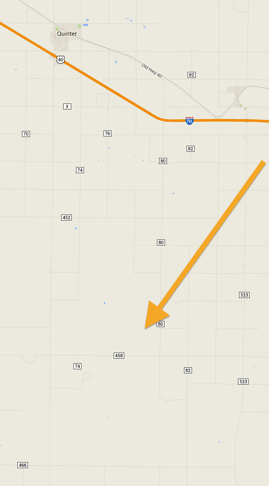
To get to Castle Rock, head south out of Quinter, Kansas, south off of I-70, on Castle Rock Road/ Gove 72 (this area is Gove County, most roads are dirt county roads marked with a letter or number).
14 miles later look to your left, you should see the spires of Castle Rock in the distance. Take a left on Gove K, go another 4 miles, you see the rock formation getting closer.
Turn left onto Gove 80, this is the dirt ring road around Castle Rock and the mini-Badlands.